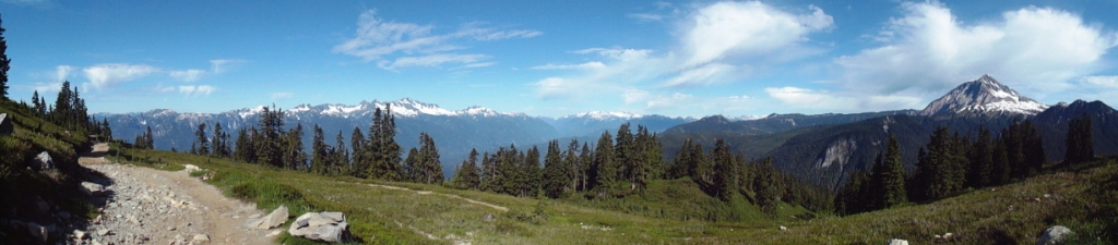
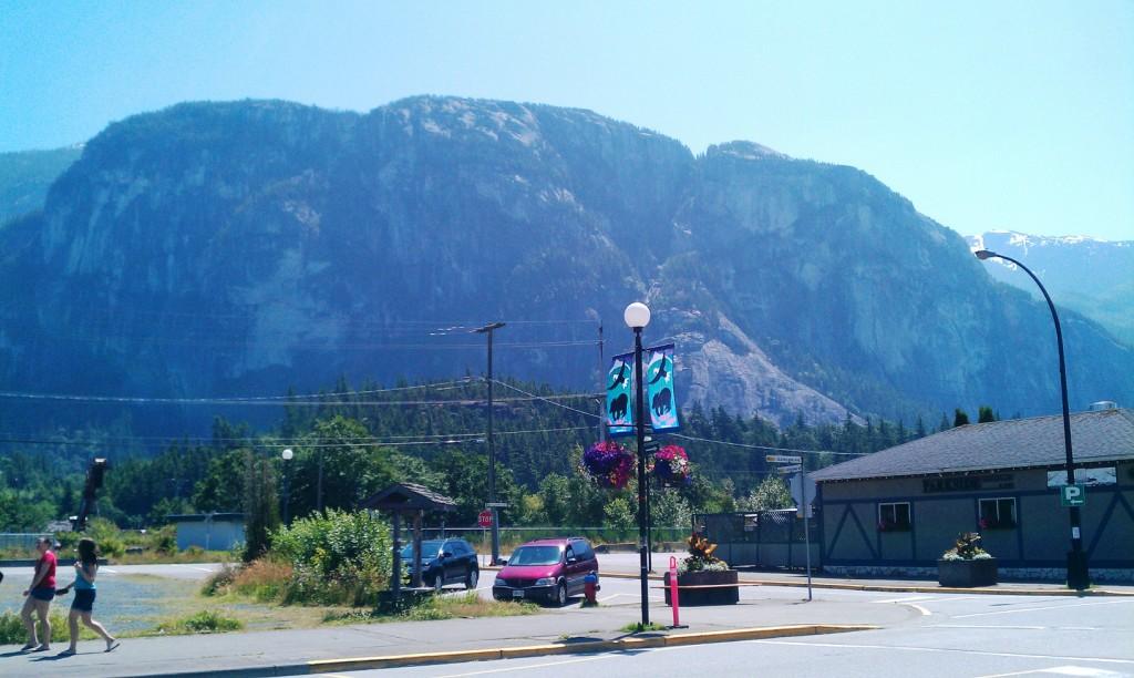
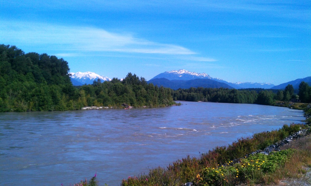
Not even 20 minutes from Squamish is the trailhead to Elfin Lakes. This 11km trail gains 2,000 feet of elevation through Garibaldi Provincial Park - half of it through the forest and half through Alpine meadows... think Heidi and the Sound of Music. I swear I could have been in the Alps.
The trail is an old road created to access Diamond Head Chalet which was built by two young Norwegian men (Ottar and Emil Brandvold) and a Canadian woman (Joan Matthews) in the 1940s. Diamond Head chalet was the first high-altitude ski lodge in BC north of Vancouver - at this time people had to take a 4-hour ferry ride just to get to Squamish - this was followed by a train to Garibaldi station, and an overnight there before even beginning the hike in!! Pretty cool. I just started reading about these 3 people and find them fascinating - they were all competitive skiiers who met in a tournament in Banff... the three of them dreamed of creating a hut to hut system for hikers and skiiers throughout Garibaldi park... and went on to do so.
Now if these people weren't cool enough already - Joan was also the first graduate in sculpture from the Vancouver School of Art. They developed a rehabilitation program to have war veterans come up into the mountains to help build cabins with the main focus being on the men's mental and physical health. They also adopted a local deer as their pet - "The only thing about that deer," laughs Ottar, "was that we could never train him not to get into our bed." After Joan and Ottar had two kids, Joan stayed down in Squamish more... but wasn't just a housewife - she became the chief ambulance driver for the area.... wow this woman is my hero. To read the whole history of this area - check out this article.
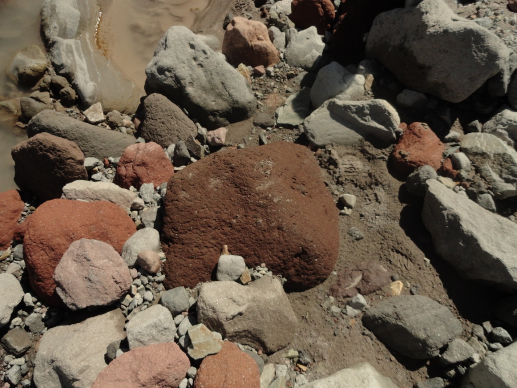
Lava rock!
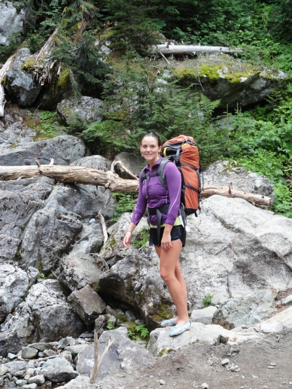
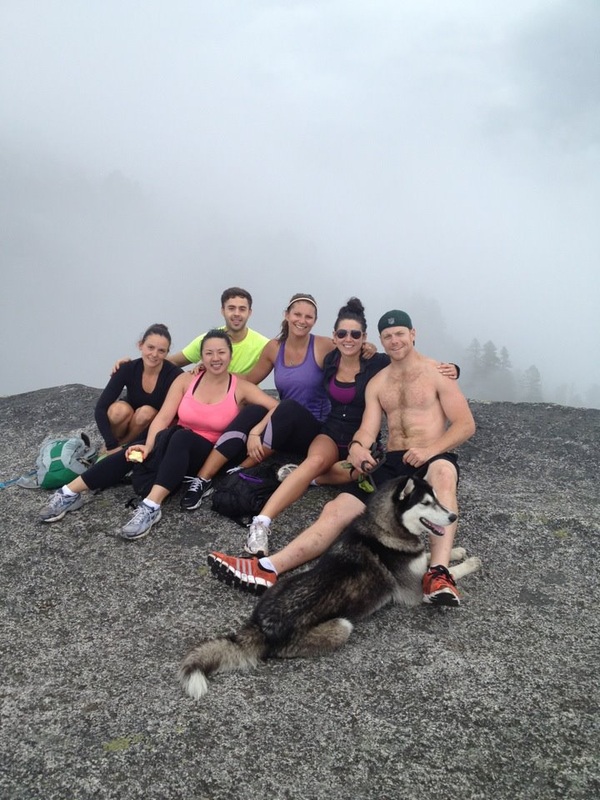
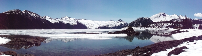
So back to the present.... Sonia and I hiked in early saturday - carrying all our gear for camping as we had heard this place was seriously popular and we expected the hut to be full up from people who hiked in on friday. Not the case at all. There were maybe 6 people staying there, but the campground was almost full. After the hike in, we dropped off our stuff, and carried on for another 10km hike or so. We wanted to go check out Opal Cone - which is some sort... of cone? But we had to turn around after we hit a large, roaring creek with no easy way of crossing, and we couldn't see the trail on the other side. I am still unsure if we actually saw Opal Cone or not... it is a Cascade Volcano responsible for 15km of dacite lava flow (sounds like this is a wrinkly rock ridge). I think we must have seen this... oh well.
We hiked back to the hut - jumped into the glacier cold lake, and cooked ourselves the most delicious steak and potato dinner. Sonia even had a glass of red wine. We sat on the porch and played crib watching the sun go down....
We hiked back to the hut - jumped into the glacier cold lake, and cooked ourselves the most delicious steak and potato dinner. Sonia even had a glass of red wine. We sat on the porch and played crib watching the sun go down....
 RSS Feed